Difficulty: v5a3II
Highest rappel: 90 meter
Number of rappels: 4
Needed cars: 1
Approach: 10 minutes
In the canyon: 1½ hours
Return: 30 minutes
Overall time: 3 hours
Altitude parking: 207 meter
Altitude entry: 140 meter
Difference in height: 120 meter
Length: 150 meter
We at Casa Vento have created a comprehensive topo for many gorges in
Madeira and would like to share our knowledge with you. On this page we publish
the description of the Ribeira Campanario in Ribeira Brava.
Our descriptions are of course based on our own ascents and are therefore reliable except
for unforeseeable changes. The water level can vary greatly depending on the tour and the time
of year, so never go canyoning after heavy rainfall or other storms. The Campanario gorge, which
leads to Calhau da Lapa, has experienced very high water levels, which can
sometimes damage the anchoring points.
In February 2022, we at Casa Vento re-equipped all abseiling points with stainless steel adhesive hooks.
You can find all the complete GPS data in the download versions.
We are your experienced partner when it comes to canyoning on the Flower Island.
We offer the complete service:
Visit to the presented gorges from two persons
Trilingual ICA canyoning guide with decades of experience
Photo and video service for your experiences
Equipment rental: neoprene, harness, helmet etc
Transfers to the canyons and transfer service
Accommodation in an apartment, a single or double room
A warm welcome to Casa Vento in Ribeira Brava!
Share this page with friends:
The important information for your canyoning tour:
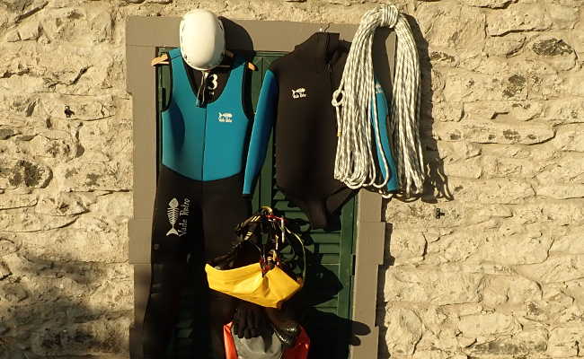
You will need the following canyoning equipment for the Ribeira Campanario tour:
Wetsuit, thickness depending on the season
Neoprene socks
Mountain sports helmet
Canyoning harness with double lanyard
Descender
Sufficient carabiners
Rescue equipment such as ascenders etc.
Canyoning shoes
Canyoning backpack
Waterproof screw barrel
At least 2 x 90 meters of rope
90 meter emergency rope
First aid kit
Spare abseiling device
Emergency bolting kit
Swimsuit and towel
Snack and drink
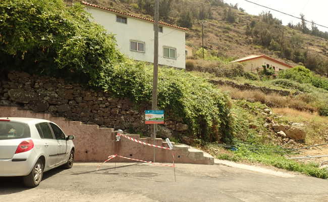
Coming from Funchal, drive towards Ribeira Brava on VR 1. Leave VR 1 immediately after the
Campanario tunnel (exit 2) and turn right towards Campanario. Turn left to pass underneath the highway.
Coming from Ribeira Brava, also leave the VR 1 at exit 2, Campanario. At the end of the exit, turn
left towards the coast.
Follow the road, which first runs parallel to VR 1 and then leads through banana fields towards
the coast. The road bends inland, continue straight ahead and then turn right over a bridge.
The parking lot is located directly after this bridge.
GPS data of the parking lot:
32,xxxxxx
-17,xxxxxx
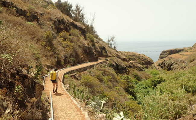
Follow the newly restored, beautifully paved (August 2020) path towards Calhau da Lapa. After a
good ten minutes, before the path descends steeply to the sea, you will find a wooden bench and
a lamppost, also made of wood. You can change your clothes here.
GPS data of the bench: :
32,xxxxxx
-17,xxxxxx
The stream is usually very overgrown, so the easiest approach is a short abseil from the railing.
It leads you almost directly to the first waterfall, the anchors are on the left bank. The old
bolts on the right bank are of poor quality.
GPS data of the entrance:
32,xxxxxx
-17,xxxxxx
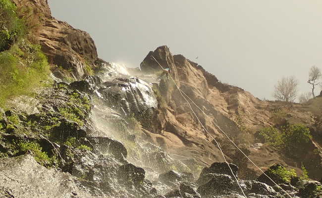
A 15-metre abseil awaits you, which offers a light shower if the water level is right.
Now you have to find a way to get to the high waterfall. The best way is on the left bank over
the large boulders.
A short abseil of six meters (anchor on the left) leads you to the big vertical. The actual
abseil station is located on a large overhanging boulder, which is difficult to reach. I strongly
recommend that you use this, otherwise it will be difficult to retrieve your rope and it will be
damaged by the strong friction on the edge.
You now abseil almost ninety meters, the first fifty free hanging.
Under the enthusiastic eyes of spectators, you reach the foot of the waterfall.
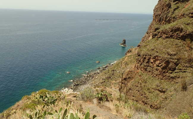
In a few meters you are at the Calhau da Lapa, where you can refresh yourself in the sea and at
the bar. Be careful, salt water and carabiners etc. do not mix well!
GPS data of the exit:
32,xxxxxx
-17,xxxxxx
The way back is easy to find, there is only one path that winds its way steeply upwards.
A look back offers great views over the cliffs. You reach the access junction and are back at
the parking lot a little later.